
Starting just west of Fayetteville in the Ozark National Forest – our ‘Where Buzzards Roost’ route is a 40-mile mostly gravel experience along the southern edge of the Springfield Plateau of the Ozark Mountains. Featuring 77% gravel, riders can expect scenic dirt roads leading through the remnants of early settlements of Northwest Arkansas and a once prosperous center for commerce in the 1800’s.
From the Lake Wedington Recreation area, the route begins with a punchy 1.3-mile pavement climb up State Highway 16. With minimal shoulders, riders should take caution along this short section of shared roadway. The pavement quickly gives way to gravel however, with an opening 7-mile descent through the Ozark National Forest. A local favorite, rolling through the canopy cover on the way down Lookout Tower Road is a highlight of the route.
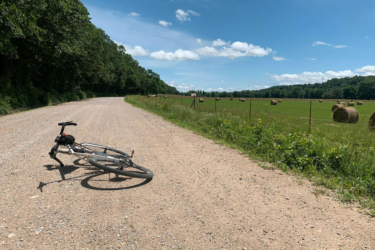
Following a spicey one mile climb, the route features predominantly gravel roads for the next 25 miles – meandering past the ranches and farmlands that make up the landscape. Seasonal flooding has washed out a small county bridge around the 20-mile mark. While walkable, extra caution is advised.
The route winds through Cincinnati, Arkansas around mile 25. Originally settled along the west bank of the Cincinnati Creek in the 1800’s, Cincinnati (or Buzzards Roost as it was once known) was the center of a rich grain and livestock region. Following the Indian Removal Act of 1830 and the “Trail of Tears” tragedy, Cincinnati established trade with the Cherokees – with then Indian Territory only eight miles away.
Leaving Cincinnati, the route skirts Weddington Mountain along rural gravel roads before one last pavement climb punches through Weddington Gap and back towards Lake Wedington. With 40 miles of rural gravel roads, our ‘Where Buzzards Roost’ route is rated Moderate in difficulty. The route does not include mid-ride aid stops and cyclists should plan to be self-supportive for their ride.
Where to Park
Although much of the Lake Wedington Recreation Area and access to facilities (i.e. restrooms, camping) remains closed during the ongoing Covid-19 pandemic, paved public parking is still available at a popular mountain bike trailhead on the northside of the highway right past the campground. An outdoor destination when open, Lake Wedington is also known for its quality mountain bike trails, flat water kayaking, fishing, swimming, and camping.

